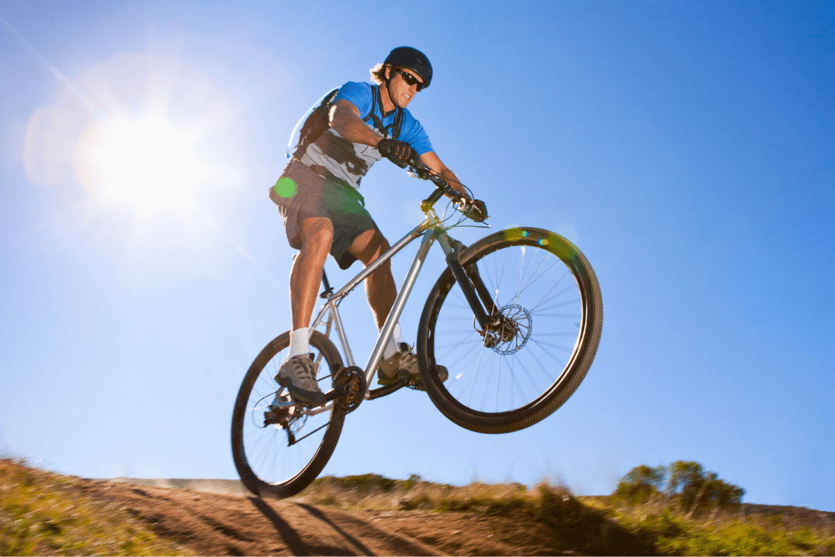
A favorite activity of locals and visitors alike, mountain biking the region’s numerous trails begins the moment enough snow has melted. That’s right—die-hard shredders don’t mind slinging a bit of snow on their ride! Come shred these 6 bucket-list mountain biking trails at the California-Nevada border.
To find your bucket-list mountain biking trails—the ones most aligned with where you want to visit, your level of ability, and other criteria—the trails below offer information regarding:
- Location
- Level of difficulty
- Elevation change
- Out-and-back distance
Biking Trail Locations
On the California side:
- South Lake Tahoe
- Tahoma
On the Nevada side:
- Indian Hills
- Kingsbury
Bike Trail Levels of Difficulty
- Easy
- Easy to Intermediate
- Intermediate
- Intermediate to Difficult
- Difficult (“black diamond”)
- Very Difficult (“double black diamond”)
The 6 Bucket-List Mountain Biking Trails You Need to Know
The trails making our California-Nevada border bucket list are:
- Tahoe Rim: Spooner to Town
- Tahoe Rim: Kingsbury Loop
- Sidewinder Corral Ride
- Railroad Grade Loop
- Fallen Leaf Northshore Lollipop
- Cold Creek Loop
1. Tahoe Rim: Spooner to Town
Location: Indian Hills, Nevada
One-way or loop: One-way
Distance: 17.7 miles
Elevation gain/loss: Ascending: 2,127 feet; Descending: 2,994 feet
Difficulty: Difficult
→Learn more about Tahoe Rim: Spooner to Town
2. Tahoe Rim: Kingsbury Loop
Location: Kingsbury, Nevada
One-way or loop: Loop
Distance: 7.1 miles
Elevation gain/loss: 1,409 feet
Difficulty: Difficult
→Learn more about Tahoe Rim: Kingsbury Loop
3. Sidewinder Corral Ride
Location: South Lake Tahoe, California
One-way or loop: One-way
Distance: 9.2 miles
Elevation gain/loss: Ascending: 1,388 feet; Descending: 1,392 feet
Difficulty: Intermediate to Difficult
→Learn more about Sidewinder Corral Ride
4. Railroad Grade Loop
Location: South Lake Tahoe, California
One-way or loop: Loop
Distance: 4.9 miles
Elevation gain/loss: 199 feet
Difficulty: Easy to Intermediate
→Learn more about Railroad Grade Loop
5. Fallen Leaf Lake North Shore Lollipop
Location: South Lake Tahoe, California
One-way or loop: Loop
Distance: 4.5 miles
Elevation gain/loss: 257 feet
Difficulty: Intermediate
→Learn more about Fallen Leaf Lake North Shore Lollipop
6. Cold Creek Loop
Location: South Lake Tahoe, California
One-way or loop: Loop
Distance: 4 miles
Elevation gain/loss: 535.5 feet
Difficulty: Intermediate
→Learn more about Cold Creek Loop
Whether you enjoy a leisurely ride with very little elevation change or you just tricked out your ride with new tires just for the occasion, these 6 bucket-list mountain biking trails on and around the California-Nevada border are waiting for you. Come see what you’ve been missing.


 You Should Try the Tri-Cities of Washington State